Introduction to LankaStatMap
LankaMAP
Department of Census and Statistics - Sri Lanka
The Department of Census and Statistics (DCS) is the central government agency responsible for collection, compilation, analysis and dissemination of reliable and timely statistical data for the purpose of planning, formulation and implementation of national and sub national level development programs. DCS is organized with centrally located headquarter technical divisions, an island-wide network of field offices as well as branch offices in key Ministries, Departments and other important central and provincial Government Institutions.
Statistical data that is collected by DCS headquarters as well as its branch offices are usually maintained at different locations in different formats. As the central agency having the co-ordinatory and technical supervisory authority of statistical data collection activities, a central system for maintaining and dissemination data has been a long felt need of DCS and has become a reality with the launch of LankaSIS in December, 2014.
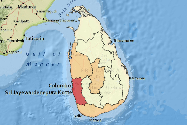
LankaStatMap is the youngest member of the DCS web family which uniquely offers the data users the additional facility to compare and link statistics with geographical information available in many different sources using location information, geo databases and enhanced graphical features attributed to Geographical Information Systems (GIS). LankaStatMap is also capable of interactively publishing a large quantity of data attributed to lower administrative levels in a single map window on the web.
Note: The administrative boundaries shown in map portals of the LankaStatMap with efficient use of area polygons on worldwide open layers to illustrate differences in summary statistics between areas may not be accurate and should be used for statistical purposes only.